
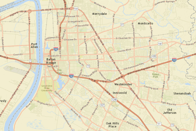
The city-parish Information Services Department is seeking approval from the Metro Council to spend $94,327 to update its Geographic Information System mapping data and include a new “bird’s-eye view” of the buildings in the city-parish, says IS Interim Director Eric Romero “We update the map with new aerial photography every two years, but what’s different
Baton Rouge looks to upgrade GIS maps with ‘bird’s-eye view’ of city’s building topography
Sign up for the free Daily Report email – local news about the people, companies and issues that impact business impact business in Baton Rouge and beyond.
